Pacific Water Resources II
Enhancing Decision Making to Help Manage Freshwater Resources: Using NASA Earth Observations and NOAA CDR's to Provide Near Real-Time Precipitation Estimates for Forecasters in the U. S. Affiliated Pacific Islands.
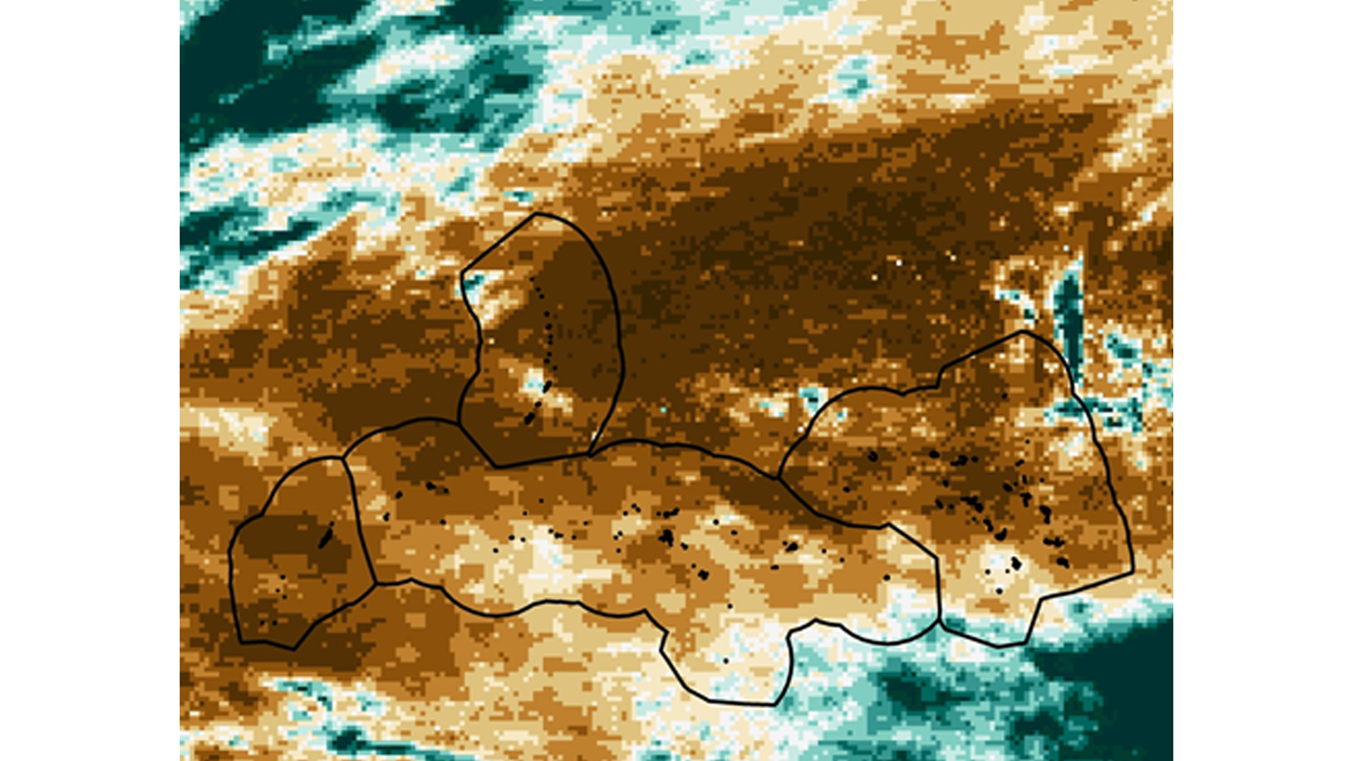
The United States Affiliated Pacific Islands (USAPI) are extremely vulnerable to the precipitation shifts associated with the El Niño Southern Oscillation (ENSO). For example, the 2015-2016 ENSO event caused crippling drought conditions for the USAPI that extended several seasons. In the past, scientists in the region utilized a spatially-limited, in situ-based, ENSO climatology to inform their drought mitigation decisions. To fill this spatial gap, the Pacific Water Resources I team successfully delivered an updated, ENSO-based precipitation climatic reference atlas derived primarily using remotely-sensed data from National Oceanic and Atmospheric Administration's (NOAAs) Precipitation Estimation from Remotely Sensed Information using Artificial Neural Networks-Climate Data Records (PERSIANN-CDR), which provides a 30-year record of daily precipitation at 0.25° spatial resolution. While the atlas has been heavily utilized by scientists in the region following the Pacific Water Resources I project, it is somewhat limited in that it does not provide near real-time precipitation estimates. The Pacific Water Resources II project filled this limitation through the utilization of near real-time precipitation data from NASA's Global Precipitation Measurement (GPM) satellite which provides 30-minute rainfall estimates at 0.1° spatial resolution. To fully understand whether satellite-derived rainfall estimates from GPM can be used operationally in a near-real-time anomaly product, an analysis comparing the satellite products (PERSIANN-CDR, GPM) to 27 Global Historical Climate Network Daily (GHCN-D) stations in the west Pacific was completed. Results of this validation study suggest that both the PERSIANN-CDR and GPM tend to underestimate the daily precipitation estimates when compared to the GHCN observations. That being said, while the raw station values do not necessarily line up exactly with those from satellite-derived rainfall estimates, the direction of the trends are the same. For example, when the station data suggests periods of dryness, satellite estimates also suggest the same, and visa-versa. Therefore, results herein confirm the usefulness of using GPM precipitation estimates to accurately capture the seasonal precipitation trends found across the USAPI. The end results from this project provided a suite of near real-time precipitation forecasting tools that can enhance short-term water resources management.
- Location
- NOAA National Centers for Environmental Information
- Term
- Summer 2016
- Partner(s)
- Earth Resources Technology
NOAA Regional Climate Services - NASA Earth Observations
- GPM, DPR
TRMM, PR
PERSIANN, CDR - Team
- Nicholas Luchetti (Project Lead)
Zachary Vozzelli
Kyle Jones - Advisor(s)
- Michael Kruk (Earth Resources Technology (ERT))
Dr. John Marra (NOAA Region Climate Services, Director, Pacific Region)
Project Video