Mekong River Basin Agriculture
Utilizing NASA Earth Observations to Enhance Drought Management Decisions within the Mekong River Basin's Agricultural Fields
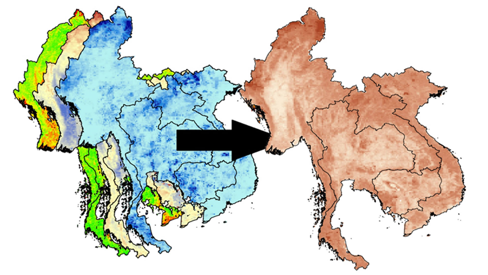
The Mekong River Basin region is one of the world's largest contributors in the global rice production market with rice paddies on over more than 10 million hectares of land. The production of these crops contributes significantly to the local economies and workforce within this region. The Mekong River Basin experiences seasonal flooding, as well as periods of drought, which affect the rice yield. The majority of the rice fields in the Mekong River Basin rely on rainwater for irrigation rather than using groundwater, which can be problematic during extended periods of drought. The NASA SERVIR Coordination Office located at the Marshall Space Flight Center (MSFC) has partnered with the Asian Disaster Preparedness Center (ADPC) through the SERVIR Mekong Hub in order to improve on climate resilience in the Mekong River Basin region. This project focused on applying the Scaled Drought Condition Index (SDCI), an index used for agricultural drought, throughout Thailand, Myanmar, Laos, Vietnam, and Cambodia in the Mekong River Basin. This index was created by using precipitation data from Tropical Rainfall Measuring Mission (TRMM) and Global Precipitation Measurement (GPM), land surface temperature from the Moderate Resolution Imaging Spectroradiometer (MODIS), and Normalized Difference Vegetation Index (NDVI) data from MODIS. The SDCI was used in creating a time series and compiling a near real-time monitoring tool that aided in mitigation efforts against prolonged drought in the Mekong River Basin.
- Location
- NASA Marshall Space Flight Center
- Term
- Summer 2016
- Partner(s)
- Asian Disaster Preparedness Center (ADPC)/SERVIR Mekong Hub
Royal Thai Embassy - NASA Earth Observations
- GPM, IMERG
TRMM, PR
Aqua, MODIS
Terra, MODIS - Team
- Daryl Ann Winstead (Project Lead)
Waritchana Rakumthong
Pumichat Raksaphaeng
Allison Daniel - Advisor(s)
- Dr. Jeffrey Luvall (NASA at National Space Science Technology Center)
Dr. Robert Griffin (University of Alabama in Huntsville)
Eric Anderson (NASA SERVIR Coordination Office at MSFC)
Project Video