Chaco Canyon Cross-Cutting
Utilizing NASA Earth Observations to Identify Chacoan Community Signature Profiles throughout the Chaco Canyon to Assist Preservation and Protection Strategies
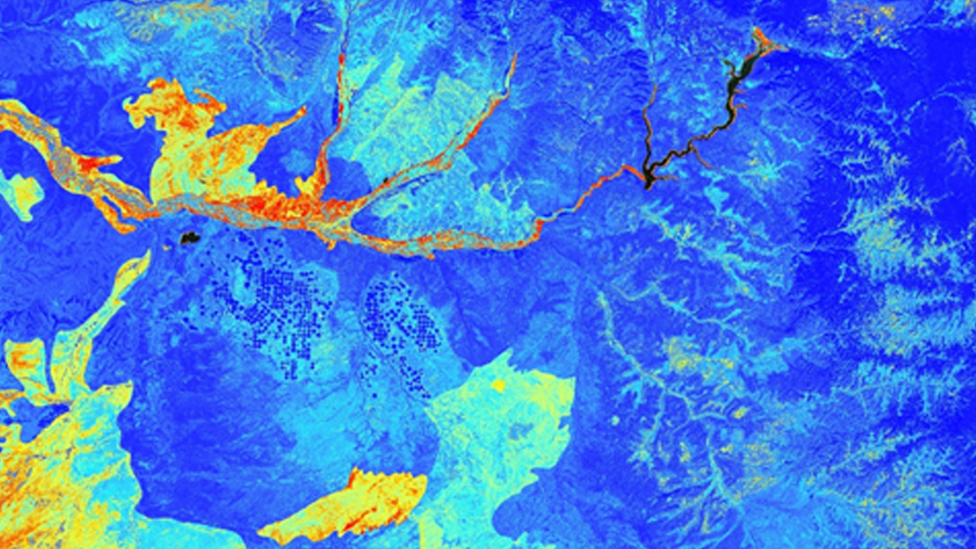
The Chacoan people flourished in northwest New Mexico between 850 and 1150 AD. Today, remnants of their monumental architecture draw over 40,000 visitors a year to Chaco Canyon National Park to experience the natural grandeur of the area and to learn about Native American history throughout the San Juan Basin. However, many Chacoan roads and communities are located outside the boundaries of the National Park. These unprotected sites are threatened by encroaching infrastructure associated with resource extraction, such as drill pads with requisite access roads and pipelines. Currently, the National Park Service (NPS), Binghamton University, the University of Nebraska-Lincoln, and the University of Colorado Boulder rely on expensive and time-consuming ground surveys, imagery from Google Earth, and the Landsat series to identify the extent of Chacoan roads and houses. This project utilized Landsat 8 Operational Land Imager (OLI) surface reflectance, Shuttle Radar Topography Mission Version 2 (SRTM-v2) digital elevation models (DEMs), and Terra Advanced Spaceborne Thermal Emission and Reflectance Radiometer (ASTER) emissivity data to identify highly probable locations of unknown Chacoan sites, to determine sites at risk from infrastructure development, and to identify the spectral signatures of these ancient communities. Documenting Chacoan community signature profiles and determining which areas are at risk of being affected by encroaching development will help the project partners to better understand the Chacoan landscape, as well as to better protect and preserve these ancient sites.
- Location
- NASA Marshall Space Flight Center
- Term
- Summer 2016
- Partner(s)
- National Park Service (NPS)- Intermountain Region
Binghamton University
University of Nebraska-Lincoln
University of Colorado Boulder - NASA Earth Observations
- Landsat 8, OLI
SRTM V2
Terra, ASTER/GED/TIR - Team
- Kelsey Herndon (Project Lead)
Dashiell Cruz
Sydney Neeley
Ryan Schick - Advisor(s)
- Dr. Jeffrey Luvall (NASA at National Space Science Technology Center)
Dr. Robert Griffin (University of Alabama in Huntsville)
Dr. Tom Server (University of Alabama in Huntsville)
Project Video