Caribbean Oceans II
Addressing Inundation Events: A Comparative Study of Remote Sensing Techniques Utilizing NASA Earth Observations to Identify Sargassum for Caribbean Nations
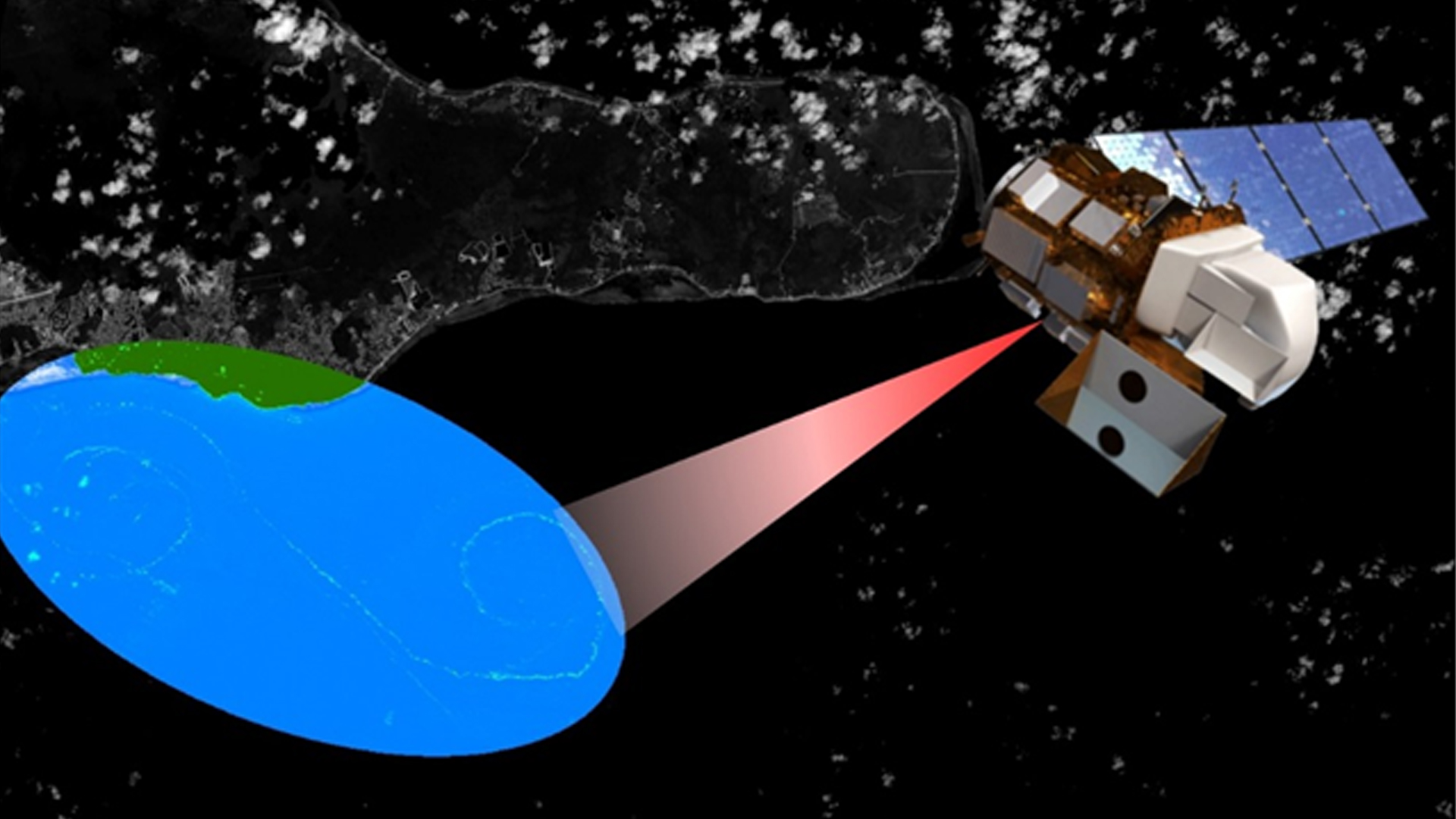
In 2015, Caribbean nations were overwhelmed by an unprecedented quantity of Sargassum that washed ashore. This issue prompted international discussion to better understand the origin, distribution, and movement of Sargassum, a free-floating brown seaweed with ecological, environmental, and economic importance. In the open ocean, Sargassum mats serve a vital ecological function. However, when large quantities appear onshore without warning, Sargassum threatens local tourist industries and near-shore ecosystems. As part of the international response, this project investigated the proliferation of this seaweed using National Aeronautics and Space Administration (NASA) Earth observations for detection of Sargassum and available nutrients across the region. The NASA DEVELOP National Program Caribbean Oceans team at the NASA Ames Research Center compared Landsat 8 Operational Land Imager (OLI) imagery to Aqua Moderate Resolution Imaging Spectroradiometer (MODIS) and Sentinel II MultiSpectral Instrument (MSI) imagery across a number of indices for the identification of Sargassum. The presence of Sargassum was then compared to ground truth data points from Sea Education Association cruises and social media platforms, as well as various oceanic variables, to determine the ideal pelagic environment for Sargassum growth. As part of the international effort to better understand the life cycle of Sargassum in the Caribbean, the results of this project will assist local economies and help promote sustainable management practices.
- Location
- NASA Ames Research Center
- Term
- Summer 2016
- Partner(s)
- Consorcio de Instituciones de Investigación Marina del Golfo de México y del Caribe (CiiMar-GoMC)
Comisión Nacional para el Conocimiento y Uso de la Biodiversidad (CONABIO)
University of Puerto Rico, Department of Marine Sciences
Regional Activity Center for Specially Protected Areas and Wildlife (SPAW-RAC)
Sea Education Association - NASA Earth Observations
- Aqua, MODIS
Sentinel-II, MSI
Landsat 8, OLI
SAC-D
AVHRR - Team
- Jordan Ped (Project Lead)
Emma Accorsi
Maria Lopez-Peña - Advisor(s)
- Dr. Juan Torres-Pérez (Bay Area Environmental Research Institute)
Sherry Palacios (Bay Area Environmental Research Institute)
Project Video