Southeast Idaho Disasters II
Using Earth Observations to Characterize Juniper Invasion and Assess Changes in Soil Moisture within Cheatgrass Dominated Sites Relative to Wildfire Susceptibility in Southeast Idaho
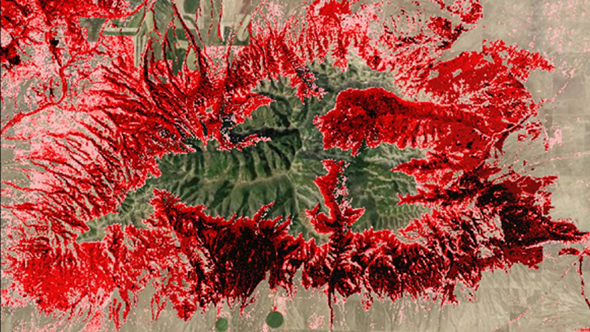
The expansion of juniper from their original rocky terrain into herbaceous communities alter fire regimes and increase fire severity not only in Idaho but throughout the Great Basin and Intermountain West. As the range of juniper expands, they begin to co-dominate communities resulting in the die-off of shrubs, grasses, and forbs. Wildfires, coupled with the presence of invasive plant species like cheatgrass, are primary drivers of change in semi-arid savanna ecosystems. By comparing soil moisture changes in cheatgrass dominated sites with sagebrush dominated sites. this project will provide maps and graphs that will aid project partners in understanding why vegetation is departing from its native habitat and help with vegetation conservation efforts. This project looked at the historical changes in juniper distribution from 1985 to 2015. Imagery from Landsat 5 and 8 was gathered in 5 year increments during August, and combined different topographic and climatic data to characterize juniper expansion. The maps produced provide land managers with the most current information on juniper encroachment and support decision making regarding the management of junipers.
- Location
- BLM at Idaho State University GIS TReC
- Term
- Spring 2016
- Partner(s)
- Bureau of Land Management, Idaho State Office and Cooperating District Offices
USDA Forest Service, Caribou-Targhee National Forest
Idaho Department of Fish and Game
NASA Recover Science Team - NASA Earth Observations
- SMAP, Radiometer
Landsat 5, TM
Landsat 8, OLI - Team
- Jenna Williams (Project Lead)
Kshitiz Shrestha
Cody O'Dale
Ryan Howerton - Advisor(s)
- Keith Weber (GIS Training and Research Center at Idaho State University)
John Schnase (NASA Goddard Space Flight Center)
Mark Carroll (NASA Goddard Space Flight Center)
Project Video