Great Lakes Ecological Forecasting

Utilizing Earth Observations to Monitor and Forecast the Spread of Phragmites australis in the Great Lakes Basin
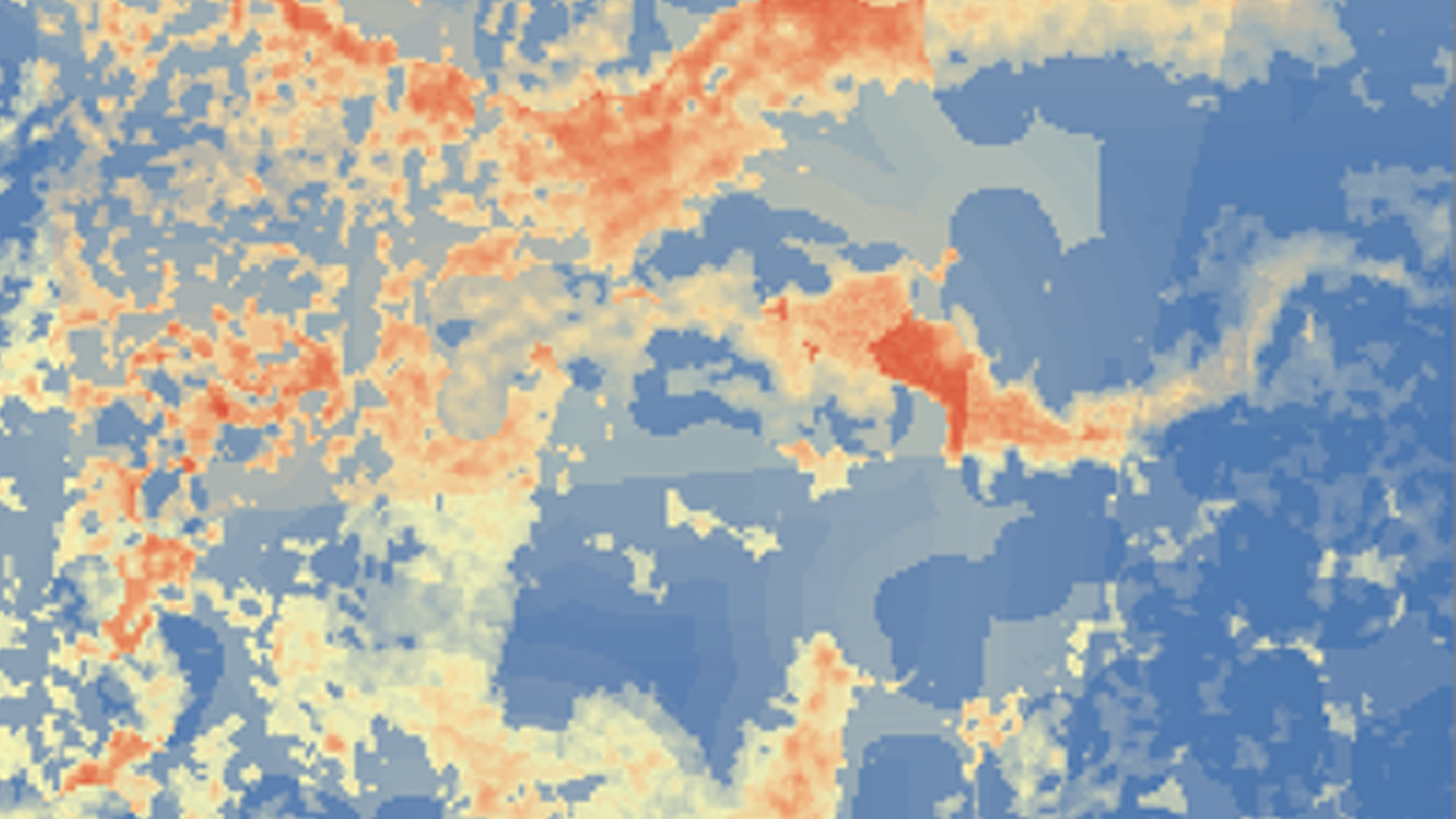
Phragmites australis is an invasive species that threatens wetland habitats in the Great Lakes and St. Lawrence River basin. Governments in both Canada and the United States recognize that Phragmites detection is a first line of defense in limiting the spread of this species. Left untreated, Phragmites australis outcompetes native regional wetland species, resulting in monotypic stands of invasive Phragmites. As a result, habitat for native fish and wildlife becomes unsuitable, fire risk grows, and elevation of the landscape increases due to an expansion of below-ground biomass, depriving wetlands of nutrients needed by native flora and fauna. Project goals included identifying relevant drivers of the extent of Phragmites and forecasting near-term Phragmites extent throughout the Great Lakes Basin. Research from this project will help the Great Lakes and St. Lawrence Cities Initiative in its goal to distribute Phragmites information to local policymakers in both the US and Canada. Earth observations (EO) utilized included Shuttle Radar Topography Mission (SRTM), Tropical Rainfall Measuring Mission (TRMM), and Global Precipitation Measurement (GPM). Ancillary datasets known to correlate with Phragmites were also used as model variables. Land use/land cover (LULC) maps were created using TerrSet Land Change Modeler. MaxEnt habitat suitability modeling used environmental variables and LULC classifications to forecast Phragmites habitat suitability extent through the year 2020. Forecasting results will help local governments enact policies to plan for and mitigate the spread of Phragmites australis. Challenges and limitations included finding an alternative to mapping Phragmites using radar data, and acquiring current LULC maps of the study area.
- Location
- NASA Goddard Space Flight Center
- Term
- Spring 2016
- Partner(s)
- Great Lakes and St. Lawrence Cities Initiative
Michigan Tech Research Institute - NASA Earth Observations
- SRTM, IFSAR
TRMM, TMI
GPM, GMI - Team
- Carl Issac Kinton (Project Lead)
Peter Jacobs
Sean McCartney - Advisor(s)
- Dr. Laura Bourgeau-Chavez (Michigan Tech Research Institute)
Dr. Kurt Kowalski (USGS Great Lakes Science Center)
Project Video