Southeastern Idaho Water Resources
Leveraging NASA Earth Observations to Identify Existing Surface Water Features and Improve Water Management and Resource Allocation in Southeast Idaho
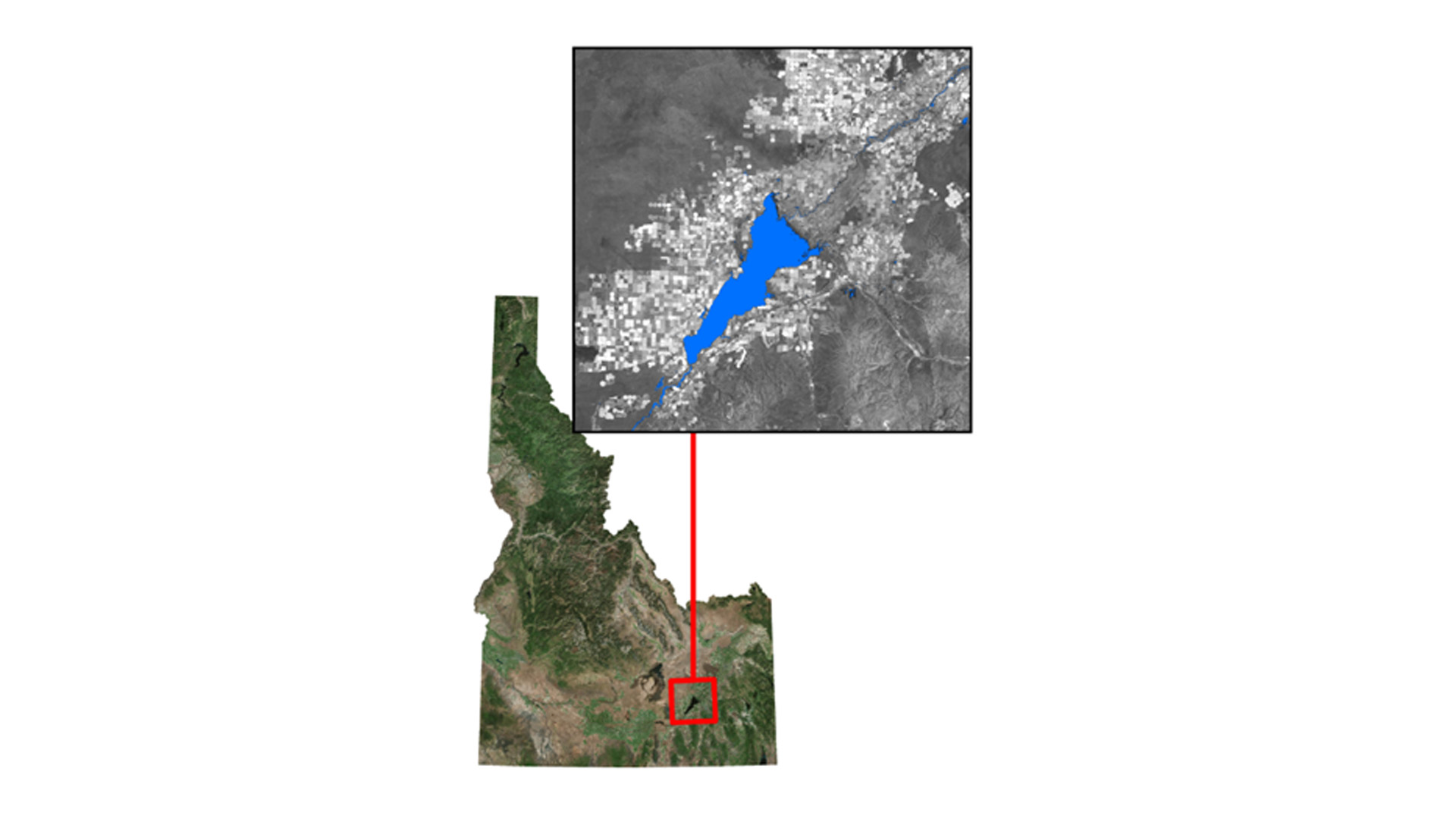
Understanding water dynamics in Southeast Idaho is critical to planning and improving water management practices. Partner organizations that focus on water management, such as the Bureau of Land Management (BLM) and Idaho Department of Water Resources (IDWR), currently use the national hydrography dataset product and legacy knowledge to identify water bodies because it is currently the best available dataset at the best resolution. However, this approach has been insufficient to meet all their needs because these datasets may not always reflect the current ground conditions. Using these datasets can lead to ineffective use of resources and inefficient management practices. Therefore, both partners want to improve the datasets related to water and water availability because important decisions rely on accurate data. This study uses NASA Earth Observations and Google Earth Engine to create a tool that allows end-users to better identify and track water bodies within their management area. The Surface Water Indicator Model (SWIM) tool incorporates Landsat 8 imagery, multiple water indices, and topographic data into a Support Vector Machine (SVM) classifier. Each method alone is susceptible to falsely classifying mountain shadows, urban asphalt, basaltic lava flows, or dark vegetation as surface water. However, this study combines these methods into a single tool to create a more accurate surface water indicator.The resulting SWIM tool is created in both Google Earth Engine (GEE) and ArcGIS. Having a SWIM-GEE and a SWIM-ArcGIS tool gives the end-user the choice of platform that best fits their needs. The SWIM tool will help natural resource managers with project planning, field assignments, and allocation of resources.
Project Video:
Got Water? Locating Surface Water in the Idaho Desert
- Location
- BLM at Idaho State University GIS TReC
- Term
- Fall 2016
- Partner(s)
- Bureau of Land Management (BLM)
Idaho Department of Water Resources (IDWR)
RECOVER Science Team - NASA Earth Observations
- Landsat 8, OLI
SRTM v2 - Team
- Traci Olson (Project Lead)
Cody O'Dale
Dylan Thomas
Caitlin Toner
Courtney Ohr - Advisor(s)
- Keith Weber, Lead Science Advisor (GIS Training and Research Center at Idaho State University)
Charles Peterson (Biology Department, Idaho State University)
Mark Carroll (NASA GSFC)