Navajo Nation Climate III

Spatial and Inter-annual Variability of Drivers of Drought in the Navajo Nation
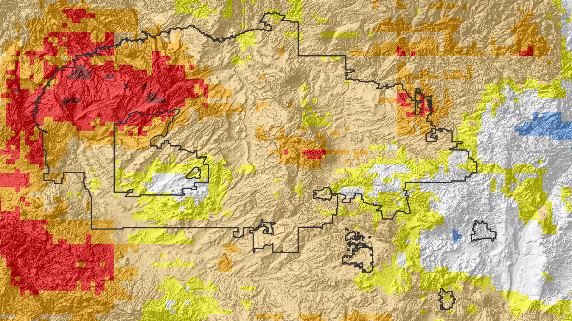
The Navajo Nation (NN) is a 65,700 km2 Native American territory located in the southwestern US that has been experiencing increasing seasonal dust storms, declining rangeland, and shifting of plant ranges caused by severe drought. Drought exacerbates water resource availability, where one-third live without potable water in homes and resort to hauling water. Currently, monthly drought monitoring status report summaries issued by the Navajo Nation Water Management Branch (NNWMB) are published by piecing together regional and national hydroclimatic variables such as Standardized Precipitation Index (SPI) to drought classifications. The DEVELOP Ames Navajo Nation Climate I and II teams created a decision support tool called the Drought Severity Assessment Tool 2.0 (DSAT 2.0) to improve visualization of user-specified zonal SPI statistics using the Climate Hazards Group InfraRed Precipitation with Station data (CHIRPS). High annual and seasonal variation make it difficult to assess whether increasing drought trends are significant. This term, the Navajo Nation Climate III team sought to determine whether there are significant temporal and spatial trends of SPI from DSAT2.0, in addition to other drought indicators such as snow water equivalent (SWE) from NOAA's Snow Data Assimilation System (SNODAS), land surface temperature (LST) from Terra MODIS, and root zone soil moisture (RZSM) from Assimilated GRACE. Precipitation, SWE, RZSM, LST were analyzed for statistical anomalies, as well as spatial and temporal trends, to enable enhanced decision-making capacity regarding imminent economic and agricultural impacts from water resources in the NN.
Project Video:
Beyond a Shadow of a Drought III
- Location
- NASA Ames Research Center
- Term
- Fall 2016
- Partner(s)
- Navajo Nation Department of Water Resources (NNDWR), Water Management Branch
USDA Natural Resource Conservation Services (NRCS) - NASA Earth Observations
- GRACE
Terra, MODIS - Team
- Lauryn Gutowski (Project Lead)
Madison Davis
Christina Zapata - Advisor(s)
- Ms. Vickie Ly (Bay Area Environmental Research Institute)
Dr. Juan Torres-Pérez (Bay Area Environmental Research Institute)
Dr. Venkat Lakshmi (University of South Carolina)
Dr. Cindy Schmidt (Bay Area Environmental Research Institute)