California Water Resources

Quantifying the Impact of the 2015-2016 El Niño Event on California's Historic Drought to Improve Water Resource Management
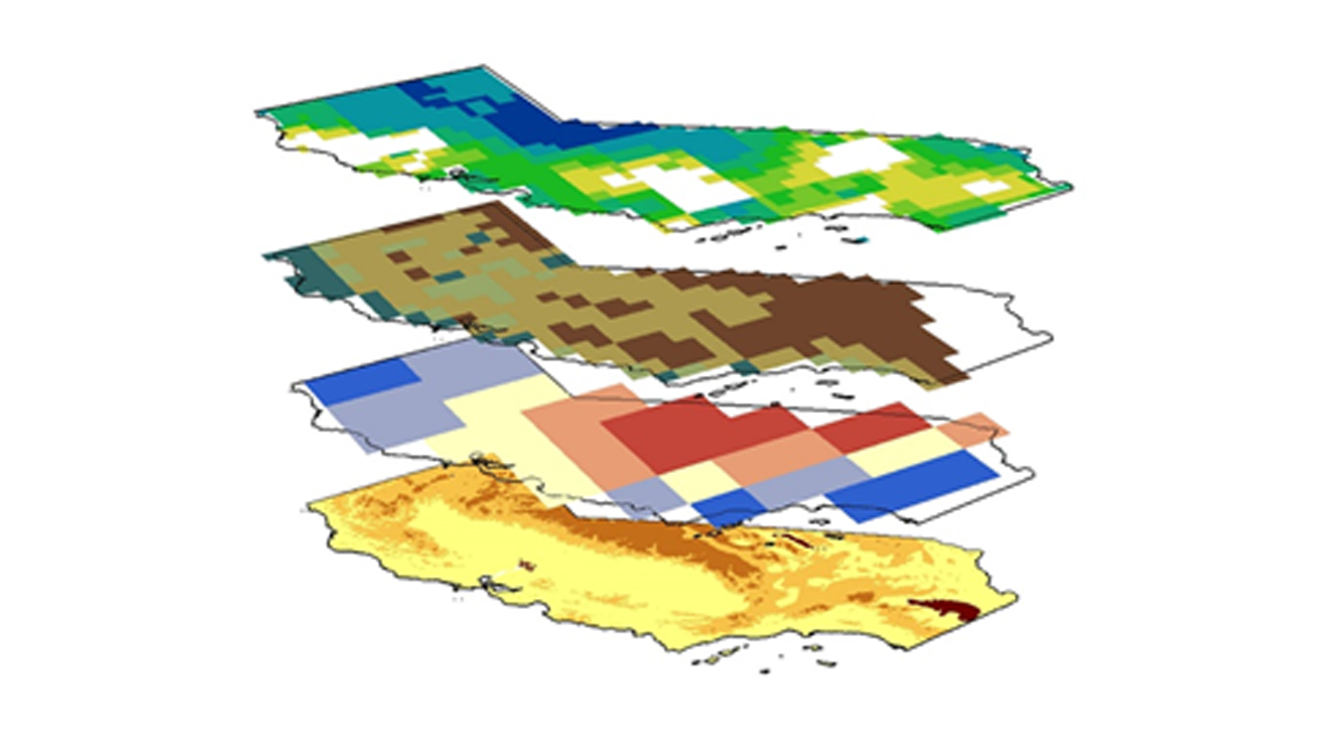
2015 marked the arrival of the strongest El Niño ever recorded, surpassing the 1997-1998 event that brought significant rainfall to the southwestern United States. As sea surface temperatures in the Central Pacific increased, it was forecasted that this event may have similar effects and alleviate what the U.S. Drought Monitor classifies as "exceptional" drought across California. However, the effects from the drought, now in its fifth year, continue to strain both municipal and agricultural water supplies throughout the state. Our team utilized data from NASA's Gravity Recovery and Climate Experiment (GRACE), Global Precipitation Measurement (GPM), Tropical Rainfall Measuring Mission (TRMM), and Soil Moisture Active Passive (SMAP) Earth observations, as well as meteorological surface observations from the National Oceanic and Atmospheric Administration (NOAA), and historical reservoir levels from the California Department of Water Resources to gain a more complete understanding of water resources in California. Together with our partners at the NOAA/ National Weather Service (NWS) regional office in Oxnard, CA, our study employs NASA Earth observations to better quantify impacts of the 2015-16 El Niño event and determine how much drought recovery occurred throughout the state over the course of the wet season. Specifically, monthly GRACE measurements of terrestrial water storage allow for a better understanding of subsurface resources, a parameter often omitted from drought assessments. We also analyzed monthly precipitation and temperature trends in relation to droughts and ENSO patterns with climatological history from NOAA dating back to 1895.
- Location
- NASA Jet Propulsion Labratory
- Term
- Summer 2016
- Partner(s)
- NOAA, National Weather Service, Los Angeles/Oxnard Weather Forecast Office
- NASA Earth Observations
- TRMM, PR
GPM, DPR
GRACE, TWS
SMAP, Radiometer - Team
- Justin Lawrence (Project Lead)
Lauryn Gutowski
Nick Rousseau
Brittany Zajic - Advisor(s)
- Dr. John T. Reager (NASA Jet Propulsion Laboratory)
Project Video